UUUFLY
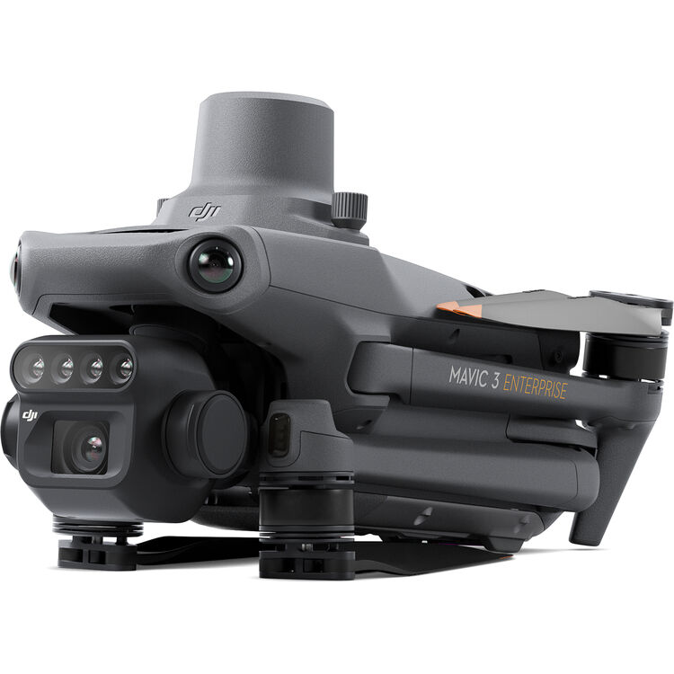
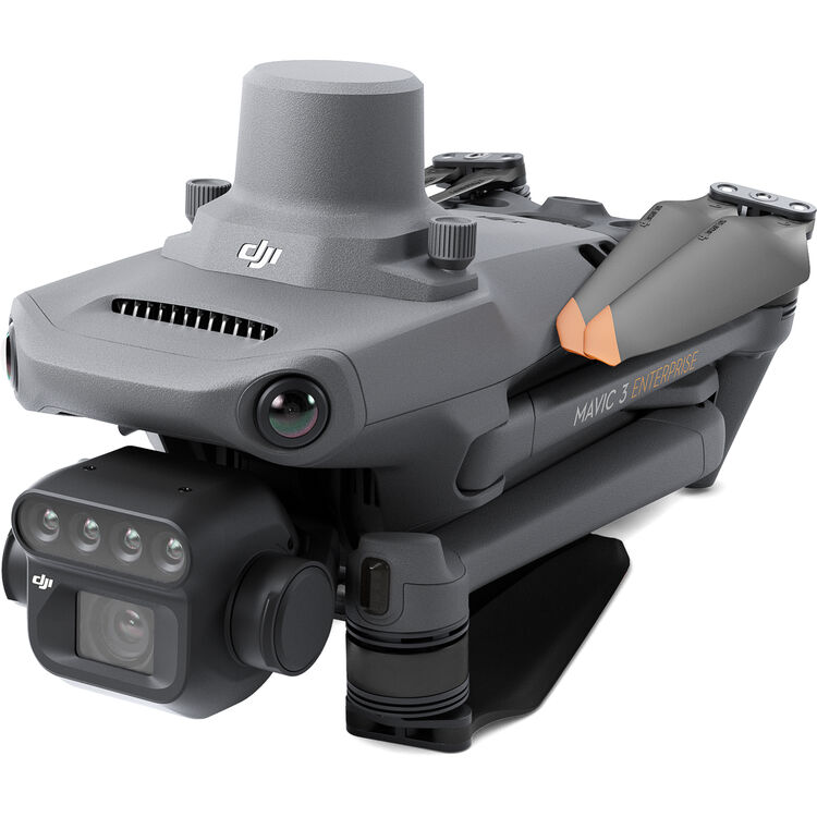
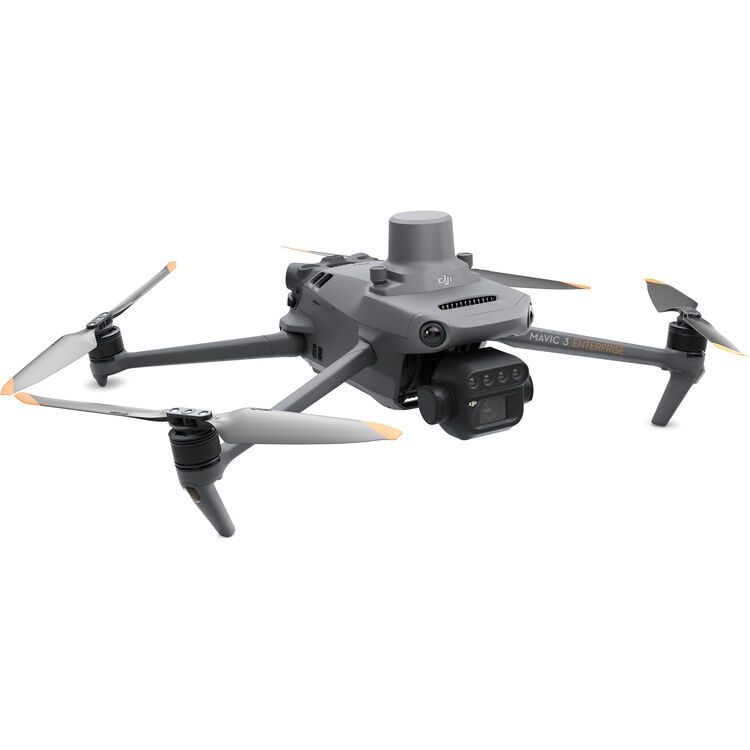
1 / 5
Boasting 43 minutes of flight time, 200-hectare coverage per flight, and fast 1/2000s mechanical shutter, it delivers high-speed, large-scale aerial surveys/inspections with minimal downtime.
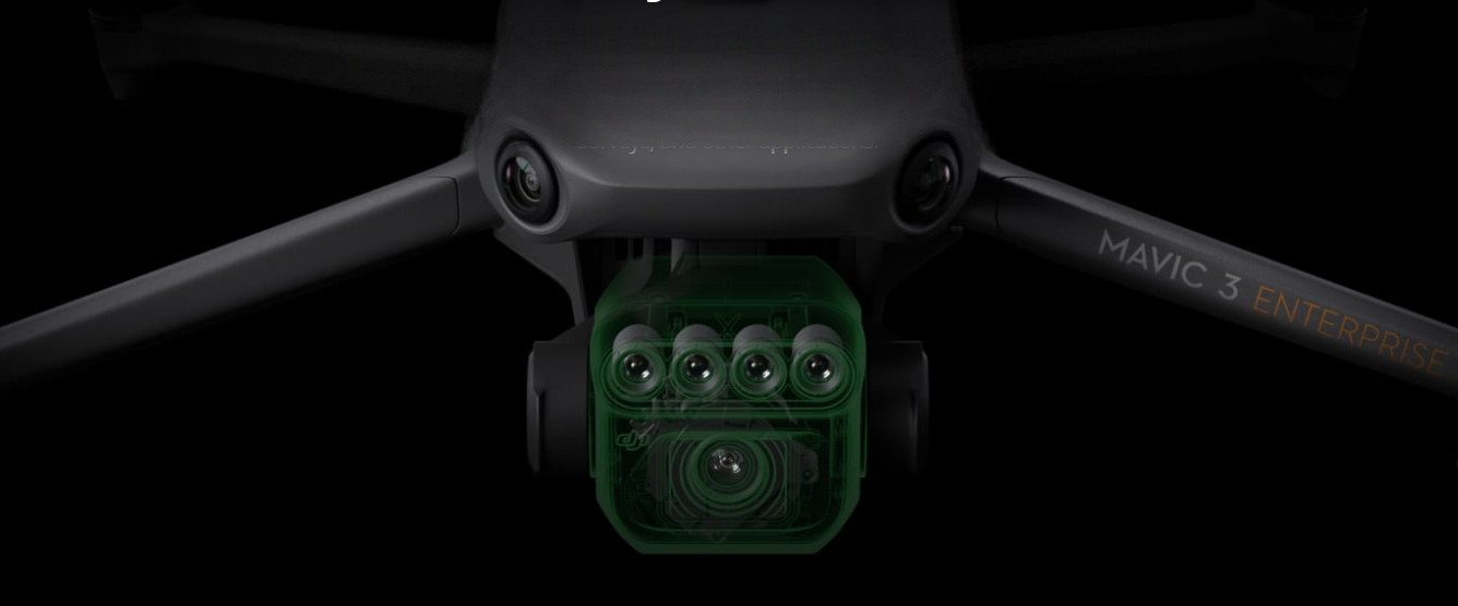
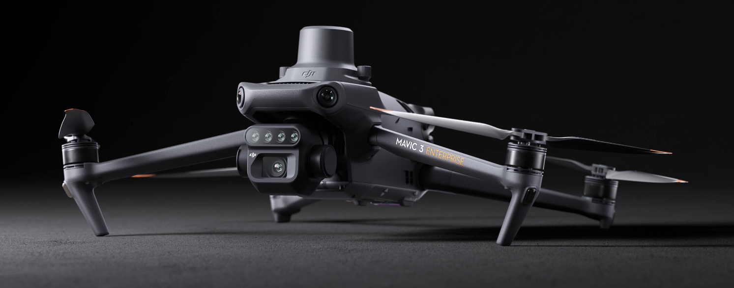
The Mavic 3M combines a 20MP RGB camera and 4 multispectral (Green/Red/Red Edge/Near Infrared) cameras, enabling centimeter-level survey accuracy (via RTK) and precise crop health monitoring for agriculture.
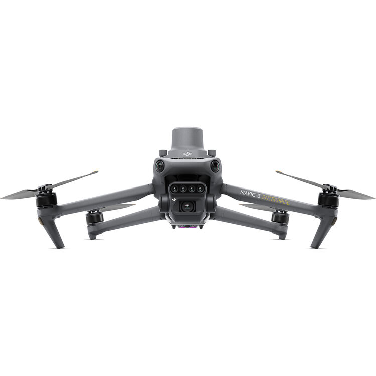
Equipped with omnidirectional obstacle avoidance, 9.3-mile O3 transmission, and a foldable design, it balances safe, long-range operation with easy portability for field deployment.
Its sunlight sensor ensures accurate NDVI results and light-compensated imagery; the open ecosystem (Cloud API, MSDK) supports seamless third-party integration and custom app development for diverse scenarios.
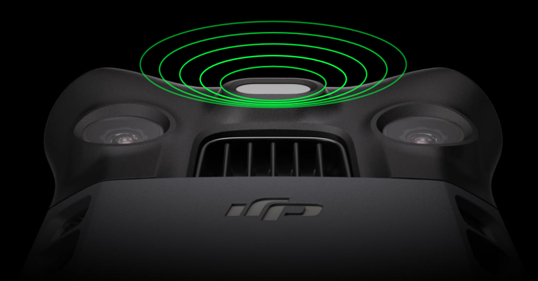
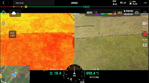
The integrated multispectral light intensity sensor can collect solar irradiance and record it in an image file, which can compensate the image data during the 2D reconstruction process to obtain more accurate NDVI results and improve the accuracy and consistency of data collected at different time periods.
Use M3M geomimetry aerial survey of mountains and forests with Terra or Smart Agriculture Platform Reconstructing a high-resolution map of the orchard can automatically identify the number of fruit trees, distinguish between fruit trees and obstacles, and generate 3D operation routes for agricultural drones, making operations safer. ciency.
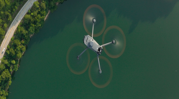
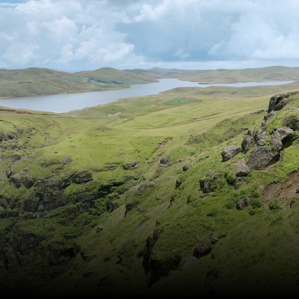
Mavic 3M can also be used in environmental monitoring and natural resource surveys such as water eutrophication monitoring, forest distribution surveys, and urban green area surveys.
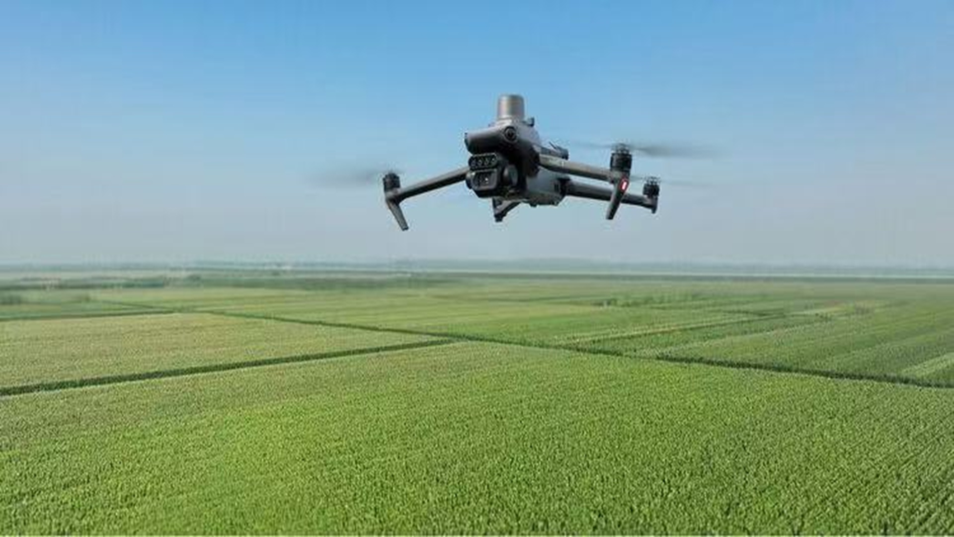
Mavic 3M can perform automatic field inspections, and field inspection images can be uploaded to the Smart Agriculture Platform in real time through the 4G network, timely detection of abnormal conditions such as lack of seedlings, weeds, lodging and other abnormal situations in the field, can complete intelligent analysis such as cotton seedling identification and rice and wheat yield measurement, realize real-time sharing of crop growth information, guide agricultural activities, and one person can easily manage more than 1,000 hectares of farmland.
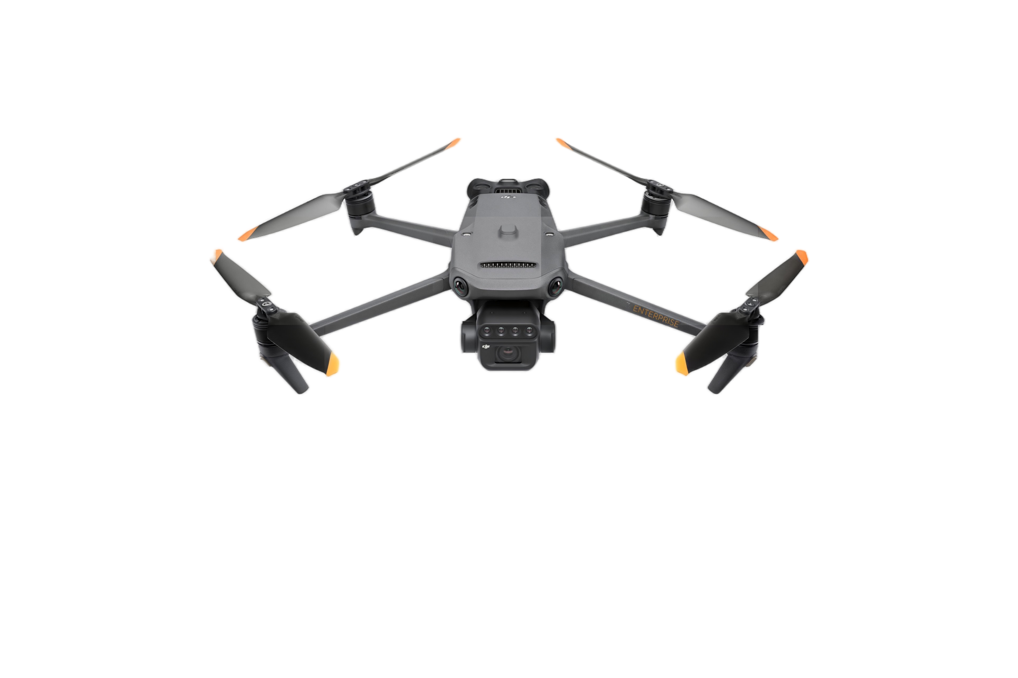
The fuselage is equipped with multiple wide-angle vision sensors to accurately detect obstacles in all directions and achieve omnidirectional obstacle avoidance. For large slope mountain scenarios, it can directly realize ground-based aerial surveying and fast operation.
| Specification | Details |
|---|---|
| Maximum Flight Time | 43 Minutes |
| Remote IDm | Yes |
| Camera System | Wide 20 MP, 4/3"-Type CMOS Sensor with 24mm-Equivalent, f/2.8 Lens (84° FoV) Multispectral 5 MP, 1/2.8"-Type CMOS Sensor with 25mm-Equivalent, f/2 Lens (73.91° FoV) |
| Maximum Video Resolution | Wide: Up to 1080p at 30 fps / UHD 4K at 30 fps Multispectral: Up to 1080p at 30 fps |
| Still Image Support | Wide: Up to 20 MP (DNG / JPEG) Multispectral: Up to 5 MP (TIFF) |
| Sensing System | Omnidirectional with Infrared Enhancement |
| Control Method | Included Transmitter |
| Weight | 2.1 lb / 951 g (With Propellers) 2.3 lb / 1050 g (with Maximum Payload) |